from 0 review
6D/5N
Daily Tour
30 people
English, Hindi
Sara Umga is one of the most toughest trek routes in Himachal Pradesh and is recommended for all those people who are looking for some hard core trek. The journey takes one through the lush green Vally of Parvati to Lahul.
✔️Trekking shoes : Carry water proof trekking shoes with good grip and ankle support. Do not carry sports shoes.
✔️Three layers of warm clothes : Carry two or three-layer jackets, fleece jackets and a padded jacket.
✔️Two/Three trek pants : Carry light cotton trek pants. Denim/jeans and shorts are not suitable for trekking.
✔️Three t-shirts (collared/dri-fit) : Full sleeved t-shirts that prevent sun burns on the neck and arms. Carry one or two dri-fit t-shirts.
✔️Thermals : Carry thermals (top and bottom).
✔️Sunglasses : Sunglasses are mandatory. There will be lot of snow on the trek and can cause snow blindness.
✔️Cap : At high altitude, the sun is extra harsh so carry a cap to protect yourself.
✔️Water proof hand gloves : Carry water proof gloves and avoid woollen gloves as they will get wet if you touch snow.
✔️Socks (3-4 pairs) and a pair of woollen socks : Apart from two sports socks, you can take a pair of woollen socks for the night.
✔️Headlamp/LED torch : Mandatory
✔️Raincoat/Ponchos : At high altitudes, snowfall and rain are quite common and it’s mandatory to carry a poncho so that you don’t get wet. The trek will continue as planned even during rainfall.
✔️Lunch box and water bottle : Every participant should have their personal lunch box and a water bottle [insulated type].
✅ Accommodation (3 sharing tent)
✅ Meals (Breakfast, lunch, snacks, dinner)
✅ Rucksack (60L + rain cover)
✅ Camping charges (forest and camping permissions)
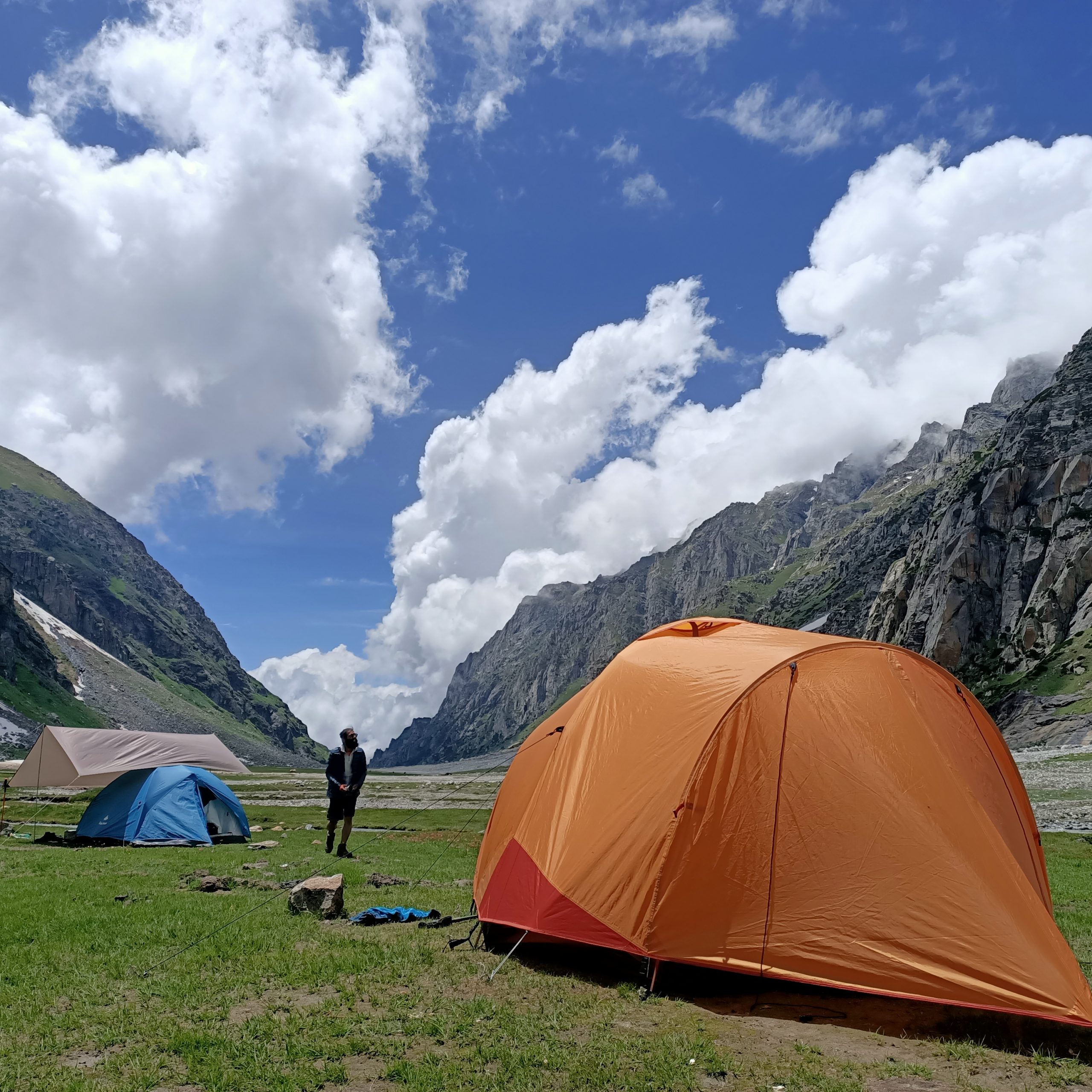
✅ Trekking equipment (High quality tent, sleeping bag etc)
✅ Gaiters (to protect your shoes from snow)
✅ Safety equipment (advance first-aid kit)
✅ Expert trek Leaders (certified trek and camp leaders)
✅ Expert Trek Support Team (cook, helpers etc)
✅ GST 5%
✅ Personal Insurance (via ASC 360)
❎ Transportation and food to and from the base camp
❎ Backpack offloading charges
❎ Any Personal Expenses
❎ Cost of Emergency
✔️Original and photocopy of government photo identity card- (Aadhar card)
✔️Medical Certificate (signed by a registered MBBS doctor)
✔️NOC form (signed by the participant)
click here to download medical certificate and NOC

-Reach Rumsu base camp by 10 AM.
-Freshen Up and Registration on arrival.
-Acclimatisation walk to Pulag village.
-Orientation for the trek in the evening.
-Overnight stay at Rumsu base camp.
The trek starts from Tosh village and goes along the Tosh Nala via some dense pine forest to Budhaban. The trek takes around 3 hours from Tosh to reach the meadows of Budhaban. Overnight stay in tents at Budhaban.
This part of the trek takes around 6 hours to complete, bringing you closer to the tree line. The first part of the trek goes over meadows and rhododendron clusters while the second part goes over the scree. One can also see the Tichu glacier and apparently there is a bridge that allows one to cross over to the Tichu Nala. Overnight stay at Sharam Thach.
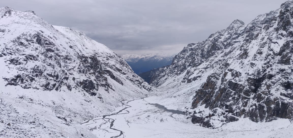
The trail from Sharam Thach climbs further up over scree and ends at the foot of Tosh Glacier, where the streams are spread estuary-like. The trek starts with a steep climb from Sharam Thach with some patches of snow on the way, along the ferocious and raging Tosh river. Descend further for Shamshi Thach campsite, which is at the base of the valley. To the north of Shamshi Thach lies Tosh glacier and to the south, Kullu Makalu peak. Overnight stay at Shamshi Thach.

Kuta Thach is a beautiful meadow below Sara Umga Pass, next to the Tosh glacier. The trek for Kuta Thach starts with a climb up the scree and glacial moraines. The trek is long and moderately difficult but is compensated by the magnificent view of tall mountains that Kuta Thach offers. Kuta Thach also leads to another trail taking one towards Animal Pass. Overnight stay at Kuta Thach.

The trek to Sara Umga Base starts with a descent to the Tosh valley and leads to a climb through a rocky path leading to Sara Umga Base camp. The base camp lies just 200 meters below the pass thereby making the traverse easy for the next day. Overnight stay at Sara Umga Base camp.
The trek starts early to get a head start in crossing the pass in good weather. The climb to the pass is steep over -snow.
From the pass, one gets fabulous views of peaks in both Lahaul valley as well as the Tosh valley and other surrounding by-valleys. Descend on the other side of the pass to reach the Putiruni. The descend happens by walking towards the left to skip all the crevasses coming in between.
The trek from Putiruni to Chota Dhara is easy with not too many ups and downs. Cross Chandra river via bucket bridge system at Chota Dhara. Overnight stay at Chota Dhara.
After morning breakfast we will start the jeep ride to Manali. We will reach Manali by 3 PM. While booking return bus tickets, book after 7 PM volvo from Manali to keep some buffer time as there are chances of traffic while driving down towards Manali.
Deo Tibba base is very popular for trekkers to start their trekking endeavors with.The trek doesn’t have any high cliffs to climb or inclined slopes to hike on and maintain a gradual gradient throughout making it a perfect fit for beginners as well as experienced trekkers.
Deo Tibba base, the base camp for Deo Tibba peak, is a moderate level trek and offers some of the amazing views of Deo Deo Tibba, Jagatsukh and Norbu Peak. Its a complete trek with a variety of landscapes like alpine forest, green meadows, waterfall, moraines and much more. The trek is also know for the lake of Chota Chandrataal.
Deo Tibba base takes min of 6-7 days complete it including chota Chandratal visit.
There are two best seasons to do Deo Tibba base.
First is between June to July.
Second is between August-October.
In June the route from Tenta till Deo tibba base is completely covered in snow. Here you walk right on top of a stream, covered with a thick layer of snow and ice and you can hear the sound of stream gushing down beneath your feet. There are chances that you witness snowfall while visiting Chota Chandratal.
While in Aug-Sept you will get no snow but more of streams to cross through and the landscape will be lush green and full of flowers in Aug-Sept. During this period, trekkers can enjoy the clear views of snow-capped mountains.
At 14,000 feet, Deo Tibba base is mostly ventured by shepherds and a handful of trekkers. With moderate climb followed by steep uphill trek accounts for the most incredible journey during the whole trek.
The average temperature in the daytime will be 12°C to 18°C and in night it could be 0°C to 4°C.
One must bring enough pair of clothes and best-quality trekking boots (Water proof) to cover the whole trek carefully and does not face any difficulties due to cold.
Preparing yourself well before coming for and Himalayan trek is really important. Sar pass is easy-moderate trek and requires basic level of fitness.
Basic physical fitness you can achieve by routinely doing a 20-30 min cardio exercises like running, skipping, crunches, squats. Work on your calf muscles, knees and thighs.
Apart from basic physical fitness you need to be properly acclimatized before starting the trek so keep you body well hydrated and rest enough after reaching the base camp.
There is no mobile connectivity as soon as you start the the trek from Jagatsukh Dam. There won’t be any network on the whole trek as well. Our guides and camp leaders are connected to each other via walkie-talkie.